Some softwares have been developed within the activities of the SO HYBAM and research programs associated with it.
If you are logged in with your username, the links below lead to pages describing the software and allow you to install and use it.
In no event shall the author be liable for any special, direct, indirect, or consequential damages or any damages whatsoever resulting from loss of use, data or profits, whether in an action of contract, negligence or other action, arising out of or in connection with the use or performance of this software.
| GetModis-3
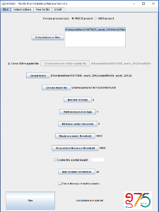
GetModis can extract series of MODIS or VIIRS products (daily or 8-day image composites) and prepare them for processing with Mod3r. |
 |
|
| Mod3r
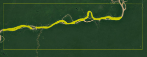
Mod3r can process the subsets obtained with GetModis to extract a reflectance characteristic of the water body being monitored, at the date of the image. |
 |
|
| Hydraccess
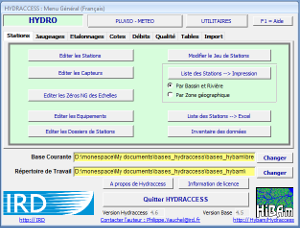
Hydraccess is a hydrology software. It allows to manage hydrological databases and to easily perform a set of current processings on the data of a hydro-climatological observation network. |
 |
|
| VALS
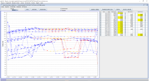
VALS (Virtual ALtimetric Stations), makes it possible to define a virtual limnimetric station based on information provided by space agencies (satellites ENVISAT, Saral, Jason, Sentinel 3A, 3B). |
 |
|


